
Heavy rain will be possible at times this morning through the early afternoon.
Totals will likely be between 1 and 2 inches with highest amounts over south-central Indiana.
SNOWFALL POTENTIAL

There is still some uncertainty in snowfall totals for this evening through tonight.
The most likely outcome is 1-2 inches for most areas north and west of the I-74 corridor.
WIND ADVISORY

Strong wind gusts will begin the morning and continue overnight.
Gusty winds could blow around unsecured objects.
Tree limbs may blown down and could result in isolated power outages.
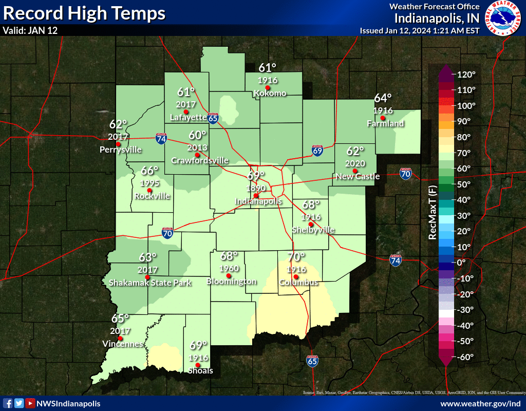
INDIANAPOLIS DAILY CLIMATE DATA
INDIANAPOLIS 7-DAY EXTENDED FORECAST

Today: Rain, mainly after noon. The rain could be heavy at times. High near 45. Windy, with a southeast wind 22 to 30 mph, with gusts as high as 44 mph. Chance of precipitation is 100%. New precipitation amounts between three quarters and one inch possible.
Tonight: Rain and snow showers likely before 10pm, then a chance of snow showers between 10pm and 2am. Patchy blowing snow between 11pm and 2am. Cloudy, with a low around 21. Windy, with a southwest wind 24 to 34 mph, with gusts as high as 50 mph. Chance of precipitation is 70%. New snow accumulation of less than a half inch possible.
Saturday: A chance of flurries with a slight chance of snow showers before noon, then a chance of flurries between noon and 2pm, then a slight chance of snow showers after 2pm. Cloudy, with a high near 26. Windy, with a west southwest wind 21 to 31 mph, with gusts as high as 45 mph. Chance of precipitation is 20%.
Saturday Night: A slight chance of snow showers before 8pm, then a chance of flurries between 8pm and 2am. Mostly cloudy, with a low around 4. Wind chill values as low as -7. Breezy, with a west wind 18 to 20 mph, with gusts as high as 30 mph. Chance of precipitation is 20%.
Sunday: Partly sunny and cold, with a high near 10. West wind 16 to 18 mph, with gusts as high as 29 mph.
Sunday Night: A 20 percent chance of snow showers after 8pm. Mostly cloudy, with a low around 4. West wind 10 to 14 mph, with gusts as high as 21 mph.
M.L.King Day: A slight chance of snow showers before 9am, then a slight chance of snow between 9am and 2pm. Mostly cloudy and cold, with a high near 12. West northwest wind around 10 mph. Chance of precipitation is 20%.
Monday Night: A 30 percent chance of snow after 8pm. Mostly cloudy, with a low around 2. Northwest wind 10 to 13 mph, with gusts as high as 20 mph.
Tuesday: A 30 percent chance of snow, mainly before 8am. Partly sunny and cold, with a high near 8. West wind 13 to 16 mph, with gusts as high as 24 mph.
Tuesday Night: Partly cloudy, with a low around 3. West wind 14 to 16 mph, with gusts as high as 23 mph.
Wednesday: Mostly sunny, with a high near 21.
Wednesday Night: Mostly cloudy, with a low around 16. Breezy.
Thursday: A 30 percent chance of snow. Mostly cloudy, with a high near 25.
THE UNITED STATES OF AMERICA 3-DAY OUTLOOK


SOURCE: NWS Indianapolis.
Follow NWS Indianapolis on Twitter @NWSIndianapolis for the latest Indianapolis area weather news.