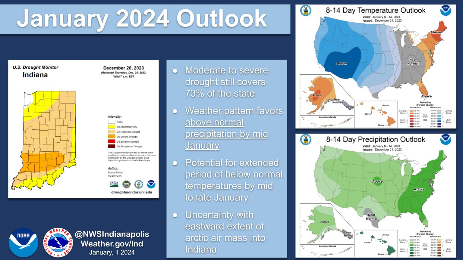
Drought conditions persist into the new year across Indiana with some relief in sight.
The weather pattern by mid-month favors above-normal precipitation as we get into a more active period.
The potential is also there for an arctic blast for much of the US mid to late month with the greatest chances for below-normal temperatures across the Central and Western US.
NEXT 12 HOURS

NEXT 12-24 HOURS

INDIANAPOLIS DAILY CLIMATE DATA

INDIANAPOLIS 7-DAY EXTENDED FORECAST

New Year’s Day: Scattered flurries before noon, then scattered sprinkles and flurries between noon and 1pm, then a slight chance of snow showers after 1pm. Cloudy, with a high near 37. North northwest wind around 8 mph. Chance of precipitation is 20%.
Tonight: Mostly cloudy, with a low around 27. West southwest wind 5 to 7 mph.
Tuesday: Mostly sunny, with a high near 41. Southwest wind 8 to 13 mph, with gusts as high as 20 mph.
Tuesday Night: Partly cloudy, with a low around 27. Southwest wind 8 to 11 mph.
Wednesday: Partly sunny, with a high near 39. West southwest wind 6 to 10 mph.
Wednesday Night: A chance of flurries. Mostly cloudy, with a low around 26. Northwest wind 10 to 13 mph, with gusts as high as 18 mph.
Thursday: Mostly sunny, with a high near 36. North wind 8 to 11 mph, with gusts as high as 18 mph.
Thursday Night: Partly cloudy, with a low around 22. North wind around 7 mph becoming south after midnight.
Friday: Partly sunny, with a high near 39. South wind 7 to 10 mph.
Friday Night: A 20 percent chance of snow showers after 1am. Mostly cloudy, with a low around 29. South southeast wind around 8 mph.
Saturday: Rain and snow showers likely. Mostly cloudy, with a high near 36. Chance of precipitation is 60%.
Saturday Night: A chance of rain and snow showers. Mostly cloudy, with a low around 27. Chance of precipitation is 40%.
Sunday: Partly sunny, with a high near 38.
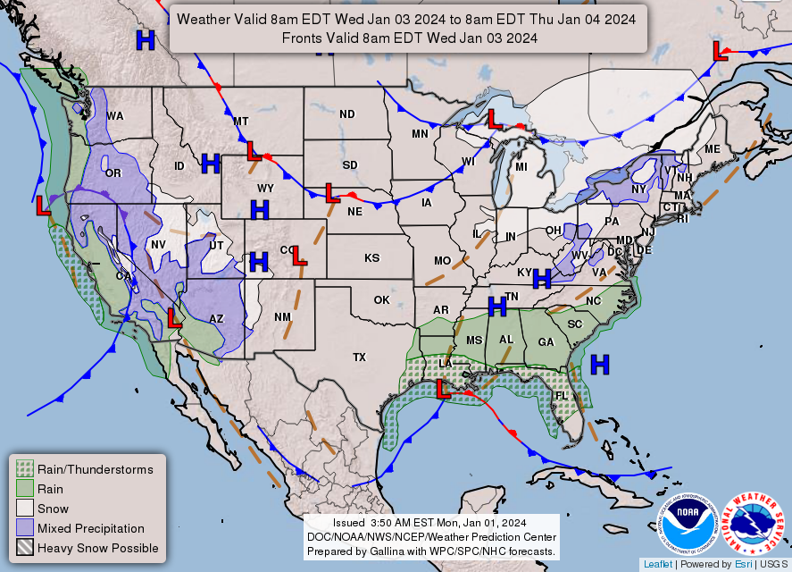
THE UNITED STATES OF AMERICA 3-DAY OUTLOOK


SOURCE: NWS Indianapolis.
Follow NWS Indianapolis on Twitter @NWSIndianapolis for the latest Indianapolis area weather news.