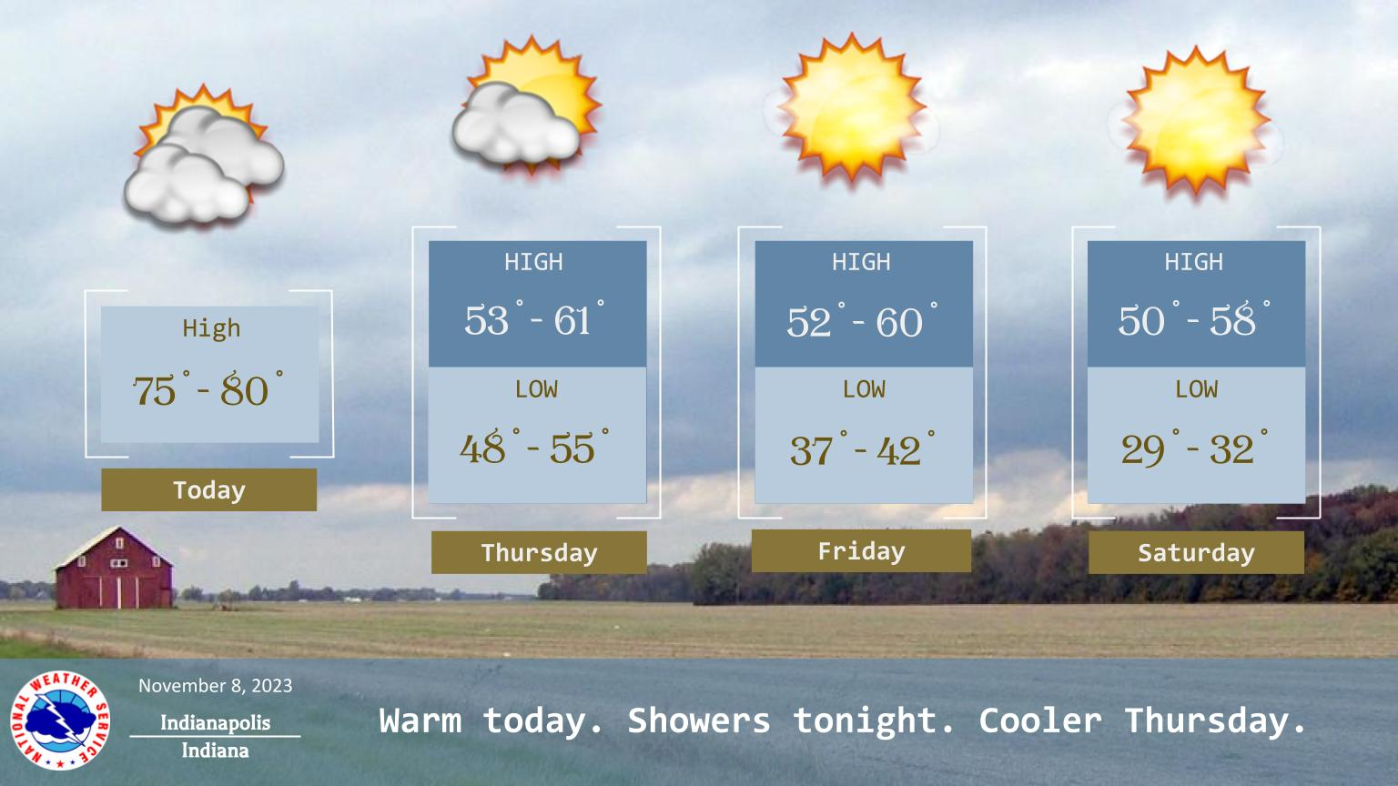
A warm front will push across Central Indiana today, allowing temperatures to soar into the mid and upper 70s.
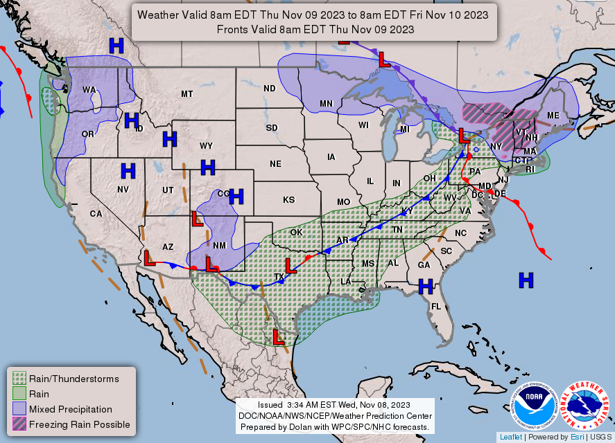
A cold front will pass across our state tonight, bringing clouds and chances for showers.
Cooler but more seasonable weather arrives on Thursday.
INDIANAPOLIS DAILY CLIMATE DATA

INDIANAPOLIS 7-DAY EXTENDED FORECAST
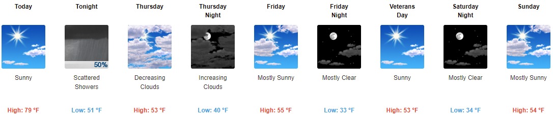
Today: Sunny, with a high near 79. South southwest wind 11 to 17 mph, with gusts as high as 31 mph.
Tonight: Scattered showers after 8pm. Increasing clouds, with a low around 51. South southwest wind 13 to 15 mph becoming west northwest after midnight. Winds could gust as high as 29 mph. Chance of precipitation is 50%. New precipitation amounts of less than a tenth of an inch possible.
Thursday: Mostly cloudy, then gradually becoming sunny, with a steady temperature around 53. Northwest wind 11 to 13 mph, with gusts as high as 20 mph.
Thursday Night: Increasing clouds, with a low around 40. West wind 7 to 9 mph.
Friday: Mostly sunny, with a high near 55. West wind 7 to 10 mph.
Friday Night: Mostly clear, with a low around 33. Northwest wind 5 to 9 mph.
Veterans Day: Sunny, with a high near 53. North wind around 6 mph becoming east northeast in the morning.
Saturday Night: Mostly clear, with a low around 34. East wind 6 to 8 mph.
Sunday: Mostly sunny, with a high near 54. Southeast wind around 9 mph.
Sunday Night: Mostly clear, with a low around 35. East southeast wind around 7 mph becoming west northwest after midnight.
Monday: Sunny, with a high near 56.
Monday Night: Mostly clear, with a low around 35.
Tuesday: Mostly sunny, with a high near 57.
THE UNITED STATES OF AMERICA 3-DAY OUTLOOK

SOURCE: NWS Indianapolis.
Follow NWS Indianapolis on Twitter @NWSIndianapolis for the latest Indianapolis area weather news.