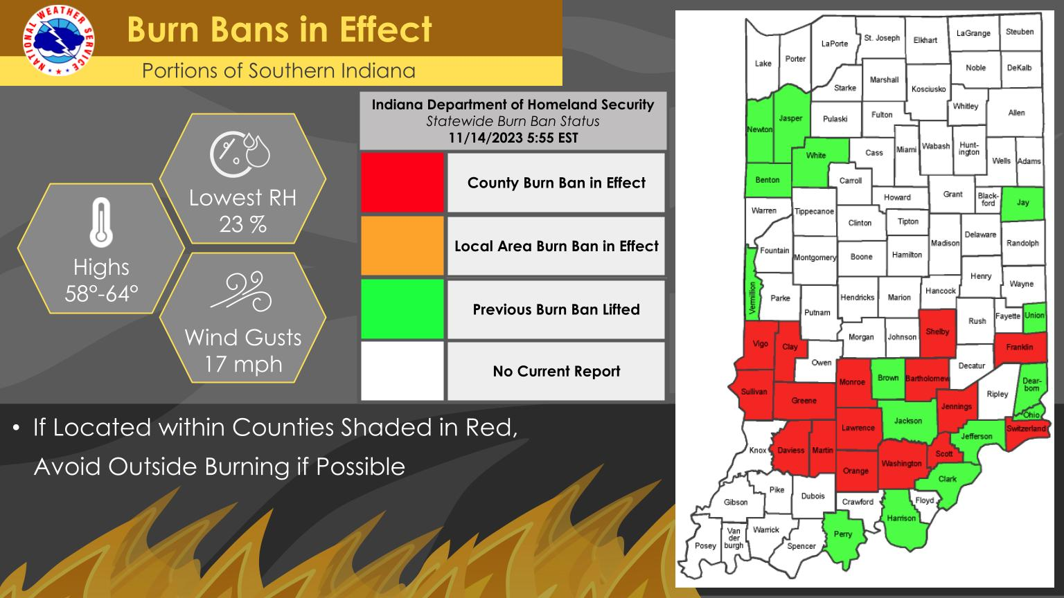
More counties across southern Indiana have issued burn bans as dry conditions continue.
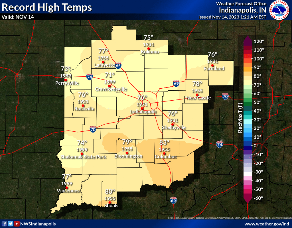
Today will see highs slightly above normal with low relative humidity.
Avoid burning if your county is under a burn ban.
INDIANAPOLIS DAILY CLIMATE DATA
INDIANAPOLIS 7-DAY EXTENDED FORECAST
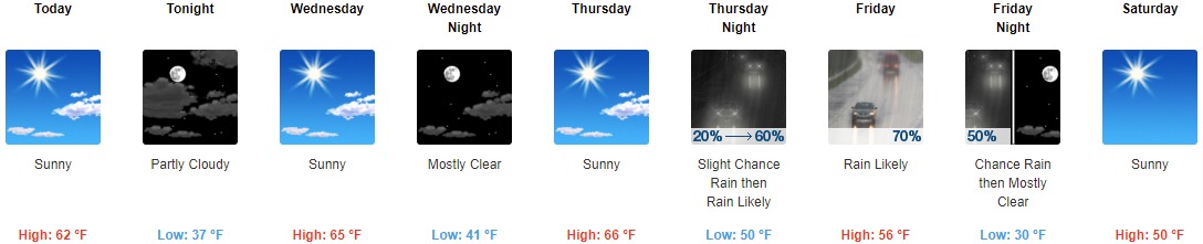
Today: Sunny, with a high near 62. South southeast wind 6 to 9 mph.
Tonight: Partly cloudy, with a low around 37. South southeast wind 6 to 8 mph.
Wednesday: Sunny, with a high near 65. South southeast wind 6 to 11 mph becoming southwest in the afternoon.
Wednesday Night: Mostly clear, with a low around 41. South southwest wind 6 to 8 mph.
Thursday: Sunny, with a high near 66. South wind 6 to 11 mph.
Thursday Night: Rain likely, mainly after 2am. Mostly cloudy, with a low around 50. South wind 13 to 18 mph, with gusts as high as 26 mph. Chance of precipitation is 60%. New precipitation amounts of less than a tenth of an inch possible.
Friday: Rain likely, mainly before 2pm. Partly sunny, with a high near 56. Southwest wind around 16 mph becoming northwest in the afternoon. Winds could gust as high as 24 mph. Chance of precipitation is 70%.
Friday Night: A 50 percent chance of rain before 8pm. Mostly clear, with a low around 30. North northwest wind 10 to 15 mph, with gusts as high as 22 mph.
Saturday: Sunny, with a high near 50. West wind 8 to 13 mph, with gusts as high as 18 mph.
Saturday Night: Mostly clear, with a low around 30. West southwest wind 9 to 11 mph, with gusts as high as 20 mph.
Sunday: Sunny, with a high near 49.
Sunday Night: Partly cloudy, with a low around 32.
Monday: Partly sunny, with a high near 49.
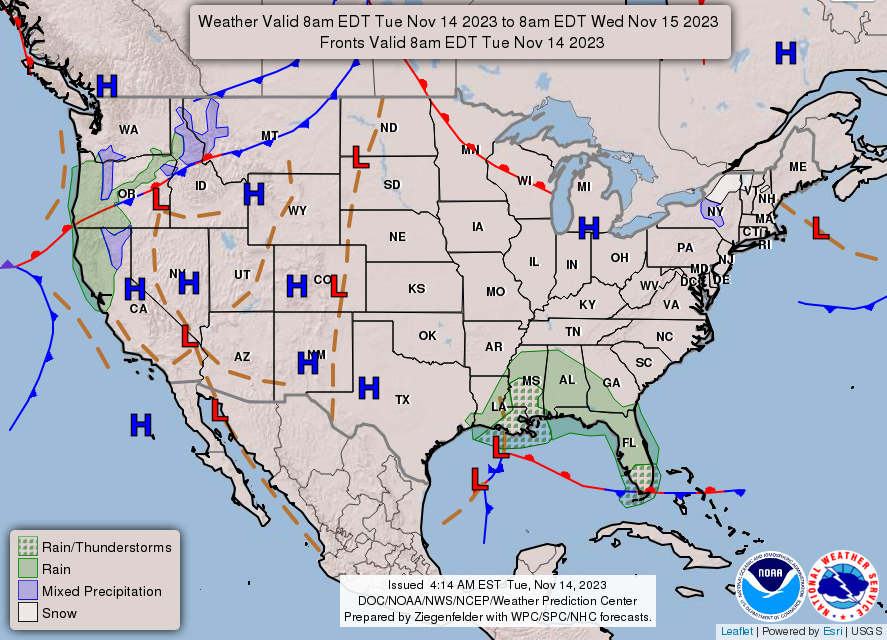
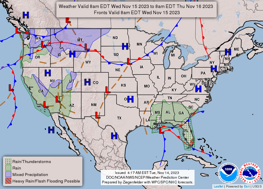
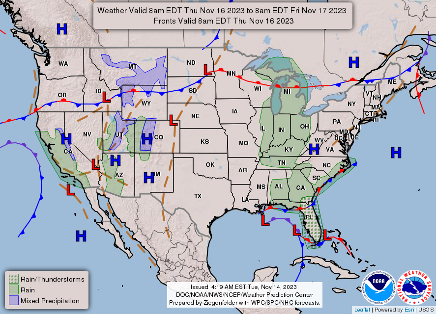
THE UNITED STATES OF AMERICA 3-DAY OUTLOOK
SOURCE: NWS Indianapolis.
Follow NWS Indianapolis on Twitter @NWSIndianapolis for the latest Indianapolis area weather news.