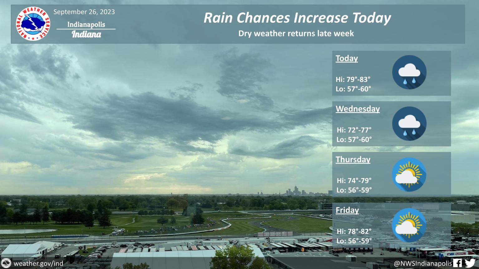
Increasing clouds today with showers and a few thunderstorms.
Showers will continue into Wednesday and end on Thursday.
Temperatures will be above normal through the rest of the week.
INDIANAPOLIS DAILY CLIMATE DATA

INDIANAPOLIS 7-DAY EXTENDED FORECAST

Today: Isolated showers and thunderstorms after 4pm. Mostly cloudy, with a high near 81. Southeast wind 5 to 7 mph. Chance of precipitation is 10%.
Tonight: Showers and thunderstorms likely, mainly between 7pm and 9pm. Some of the storms could produce heavy rainfall. Mostly cloudy, with a low around 61. East southeast wind 5 to 7 mph. Chance of precipitation is 60%. New rainfall amounts between a half and three quarters of an inch possible.
Wednesday: Showers and possibly a thunderstorm. High near 75. South southeast wind around 8 mph. Chance of precipitation is 90%. New rainfall amounts between a tenth and quarter of an inch, except higher amounts possible in thunderstorms.
Wednesday Night: Showers and possibly a thunderstorm before 8pm, then a chance of showers and thunderstorms after 8pm. Low around 60. East wind 6 to 8 mph. Chance of precipitation is 80%. New rainfall amounts between a tenth and quarter of an inch, except higher amounts possible in thunderstorms.
Thursday: A 20 percent chance of showers. Partly sunny, with a high near 77. South southwest wind around 6 mph.
Thursday Night: Mostly clear, with a low around 60.
Friday: Sunny, with a high near 80.
Friday Night: Mostly clear, with a low around 60.
Saturday: Sunny, with a high near 81.
Saturday Night: Mostly clear, with a low around 59.
Sunday: Sunny, with a high near 81.
Sunday Night: Mostly clear, with a low around 59.
Monday: Sunny, with a high near 81.
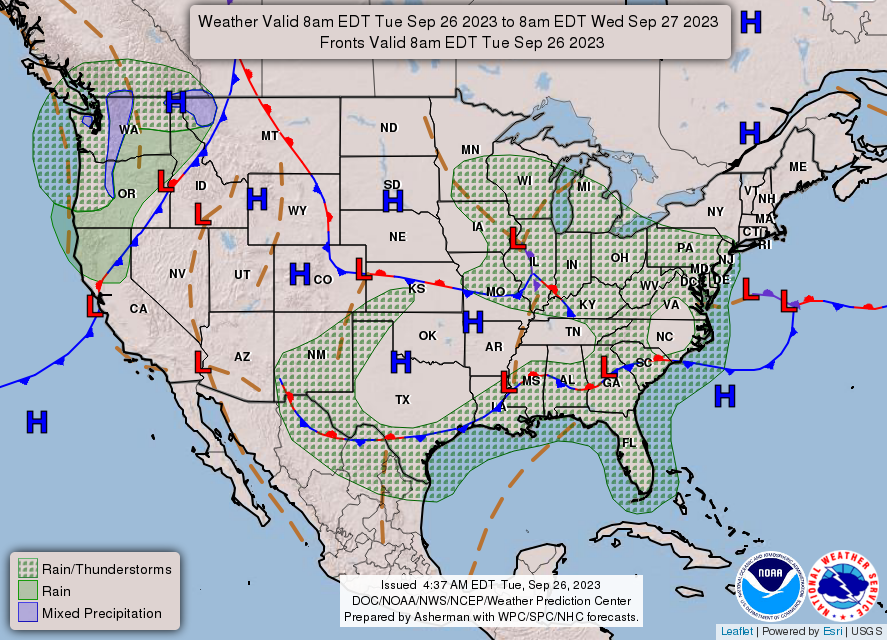
THE UNITED STATES OF AMERICA 3-DAY OUTLOOK


SOURCE: NWS Indianapolis.
Follow NWS Indianapolis on Twitter @NWSIndianapolis for the latest Indianapolis area weather news.