
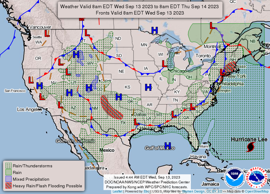
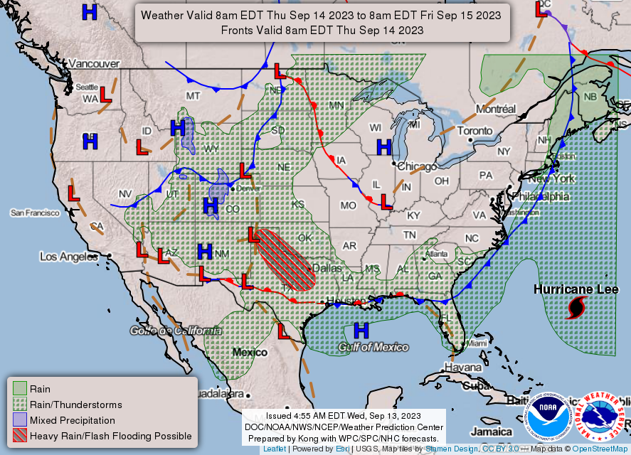
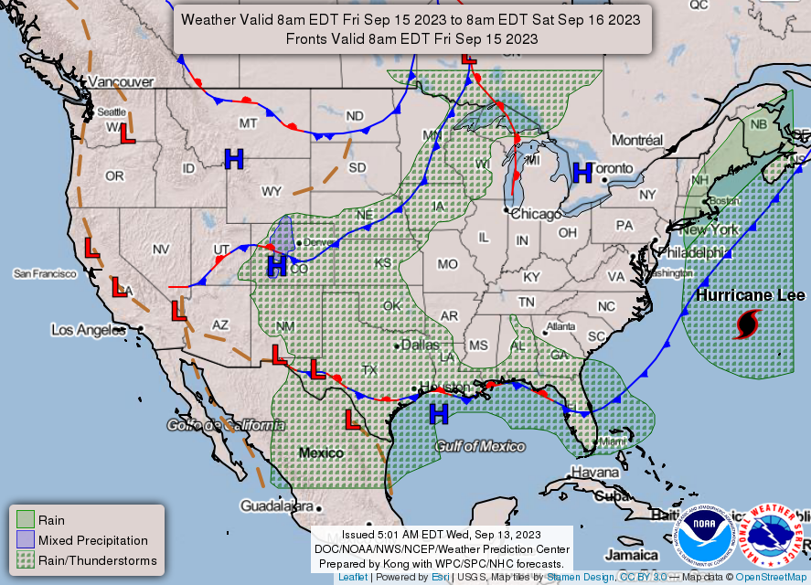
With the exception of a stray shower north of I-70 today and a few light showers Saturday afternoon, the next few days will be dry with seasonably cool but pleasant daytime temperatures primarily in the 70s.
Lows will fall into the 40s and lower 50s at night through the end of the week.
INDIANAPOLIS DAILY CLIMATE DATA

INDIANAPOLIS 7-DAY EXTENDED FORECAST
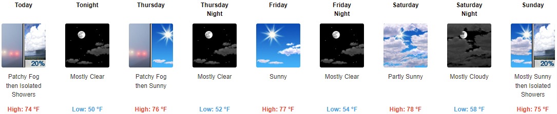
Today: Isolated showers after 2pm. Patchy fog before 10am. Otherwise, mostly sunny, with a high near 74. Light north wind becoming northwest 5 to 9 mph in the morning. Chance of precipitation is 20%.
Tonight: Mostly clear, with a low around 50. Northeast wind around 5 mph.
Thursday: Patchy fog between 7am and 8am. Otherwise, sunny, with a high near 76. Calm wind becoming east northeast around 5 mph in the morning.
Thursday Night: Mostly clear, with a low around 52. East northeast wind around 6 mph.
Friday: Sunny, with a high near 77. East wind 3 to 5 mph.
Friday Night: Mostly clear, with a low around 54.
Saturday: Partly sunny, with a high near 78.
Saturday Night: Mostly cloudy, with a low around 58.
Sunday: Isolated showers after 2pm. Mostly sunny, with a high near 75. Chance of precipitation is 20%.
Sunday Night: Isolated showers before 8pm. Mostly clear, with a low around 53. Chance of precipitation is 10%.
Monday: Sunny, with a high near 76.
Monday Night: Mostly clear, with a low around 54.
Tuesday: Sunny, with a high near 77.
THE UNITED STATES OF AMERICA 3-DAY OUTLOOK
SOURCE: NWS Indianapolis.
Follow NWS Indianapolis on Twitter @NWSIndianapolis for the latest Indianapolis area weather news.