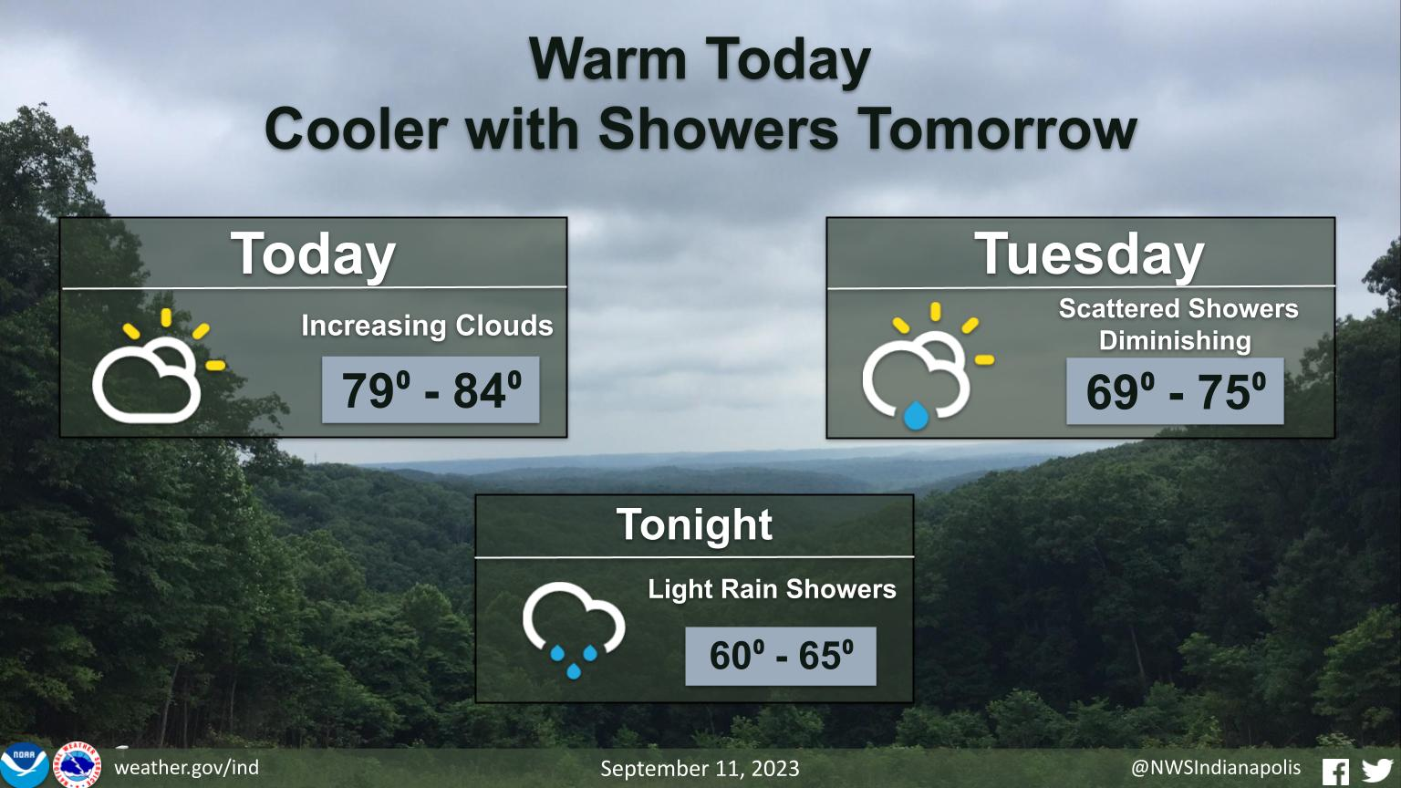
Another warm day across Central Indiana to start the work week with highs in the upper 70s to lower 80s.
Clouds increase through the day, then light rain showers move in tonight into tomorrow morning.
Cooler weather arrives tomorrow and lasts through the week.
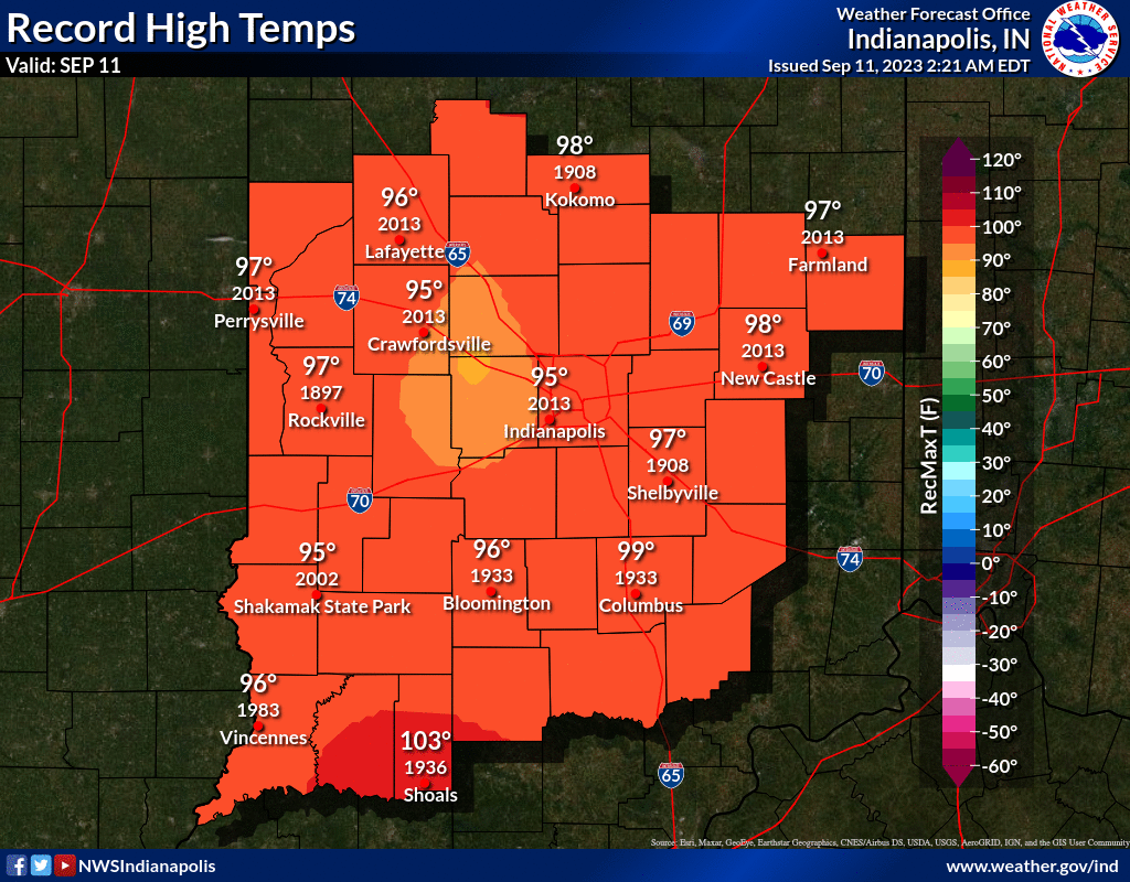
INDIANAPOLIS DAILY CLIMATE DATA
INDIANAPOLIS 7-DAY EXTENDED FORECAST
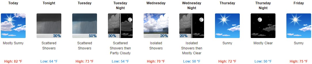
Today: Mostly sunny, with a high near 82. Calm wind becoming south southwest around 5 mph in the afternoon.
Tonight: Scattered showers, mainly after 2am. Mostly cloudy, with a low around 64. West wind around 6 mph becoming north northeast after midnight. Chance of precipitation is 30%.
Tuesday: Scattered showers. Mostly cloudy, with a high near 73. Light west wind becoming northwest 5 to 9 mph in the morning. Chance of precipitation is 50%. New precipitation amounts between a tenth and quarter of an inch possible.
Tuesday Night: Scattered showers before 9pm. Partly cloudy, with a low around 54. North wind 6 to 10 mph. Chance of precipitation is 30%.
Wednesday: Isolated showers after 9am. Mostly sunny, with a high near 70. Light north wind increasing to 5 to 9 mph in the afternoon. Chance of precipitation is 20%.
Wednesday Night: Isolated showers before 9pm. Partly cloudy, with a low around 50. Chance of precipitation is 20%.
Thursday: Sunny, with a high near 72.
Thursday Night: Mostly clear, with a low around 50.
Friday: Sunny, with a high near 75.
Friday Night: Partly cloudy, with a low around 52.
Saturday: Mostly sunny, with a high near 78.
Saturday Night: Partly cloudy, with a low around 56.
Sunday: A 20 percent chance of showers. Mostly sunny, with a high near 76.
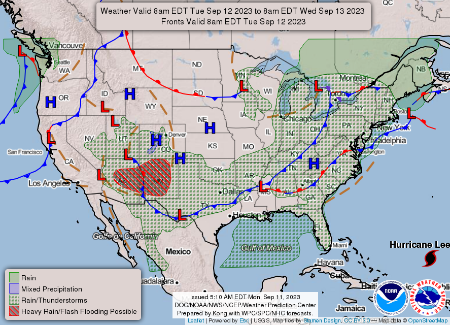
THE UNITED STATES OF AMERICA 3-DAY OUTLOOK


SOURCE: NWS Indianapolis.
Follow NWS Indianapolis on Twitter @NWSIndianapolis for the latest Indianapolis area weather news.