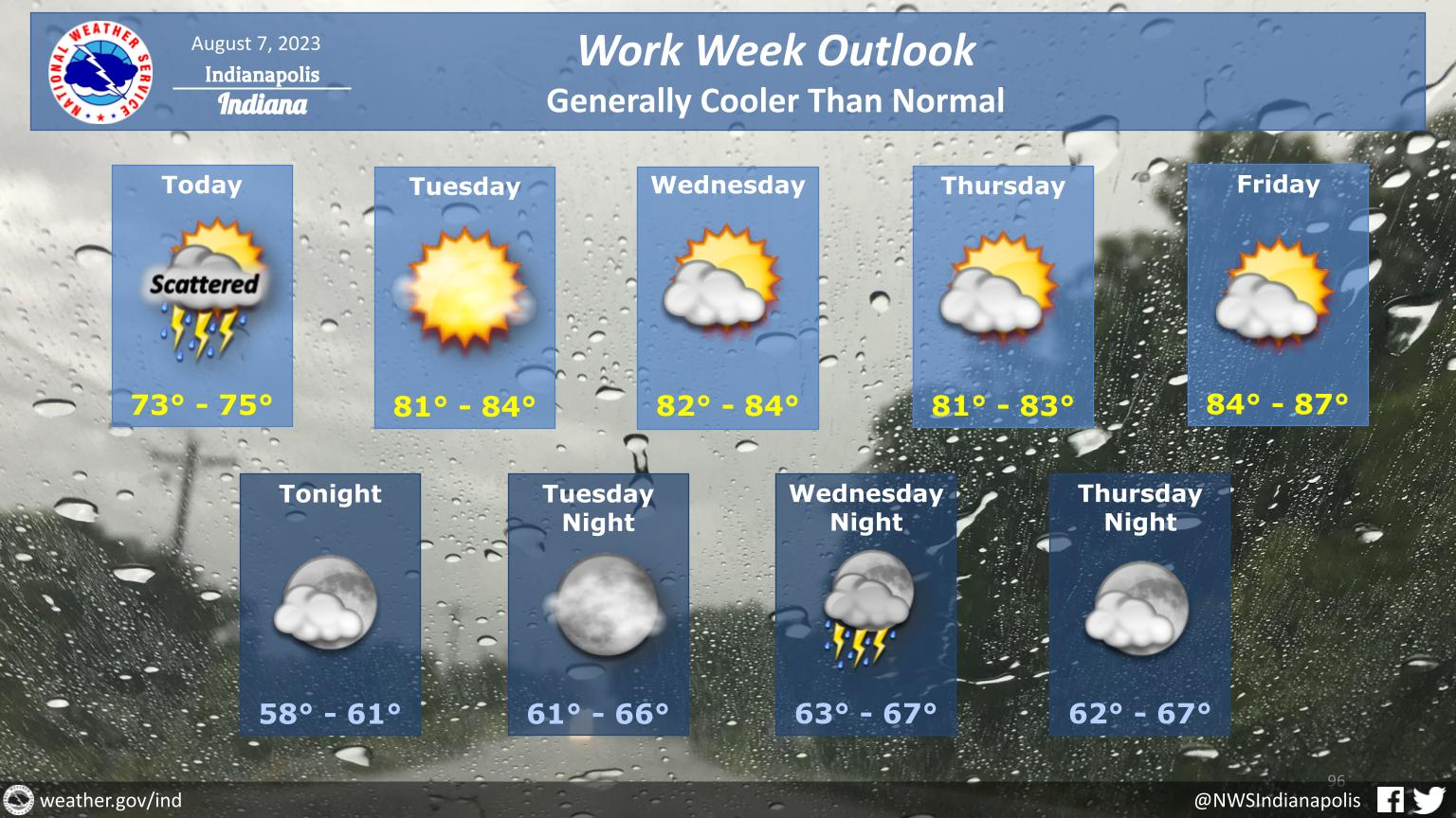
Rain is expected through the day today along with scattered thunderstorms.
Cooler than normal conditions will continue through the week with a return to strong to severe storms Wednesday night.
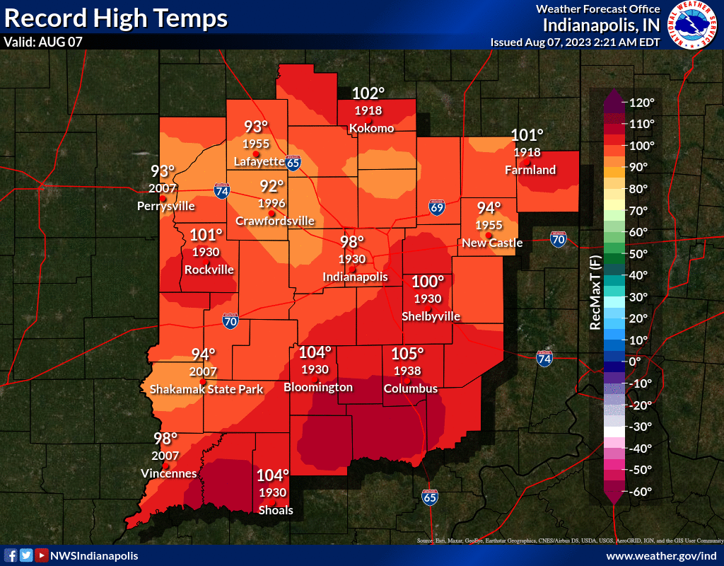
INDIANAPOLIS DAILY CLIMATE DATA
INDIANAPOLIS 7-DAY EXTENDED FORECAST
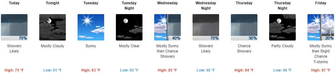
Today: Showers and thunderstorms likely, mainly before 3pm. Cloudy, with a high near 75. Southwest wind 7 to 11 mph becoming northwest in the afternoon. Chance of precipitation is 70%. New rainfall amounts between a quarter and half of an inch possible.
Tonight: Mostly cloudy, with a low around 61. West wind 5 to 10 mph.
Tuesday: Sunny, with a high near 83. West wind 5 to 9 mph.
Tuesday Night: Mostly clear, with a low around 65. West southwest wind 5 to 7 mph.
Wednesday: A 40 percent chance of showers and thunderstorms after 2pm. Mostly sunny, with a high near 85. Southwest wind 6 to 9 mph.
Wednesday Night: A chance of showers and thunderstorms before 8pm, then showers likely and possibly a thunderstorm between 8pm and 2am, then a chance of showers and thunderstorms after 2am. Mostly cloudy, with a low around 68. Chance of precipitation is 70%. New rainfall amounts between a half and three quarters of an inch possible.
Thursday: A 30 percent chance of showers and thunderstorms before 2pm. Partly sunny, with a high near 84.
Thursday Night: Partly cloudy, with a low around 66.
Friday: A 20 percent chance of showers and thunderstorms after 2pm. Mostly sunny, with a high near 87.
Friday Night: A 40 percent chance of showers and thunderstorms, mainly after 8pm. Partly cloudy, with a low around 67.
Saturday: A 30 percent chance of showers and thunderstorms. Mostly sunny, with a high near 82.
Saturday Night: A 30 percent chance of showers and thunderstorms. Mostly clear, with a low around 63.
Sunday: Mostly sunny, with a high near 80.
THE UNITED STATES OF AMERICA 3-DAY OUTLOOK


SOURCE: NWS Indianapolis.
Follow NWS Indianapolis on Twitter @NWSIndianapolis for the latest Indianapolis area weather news.