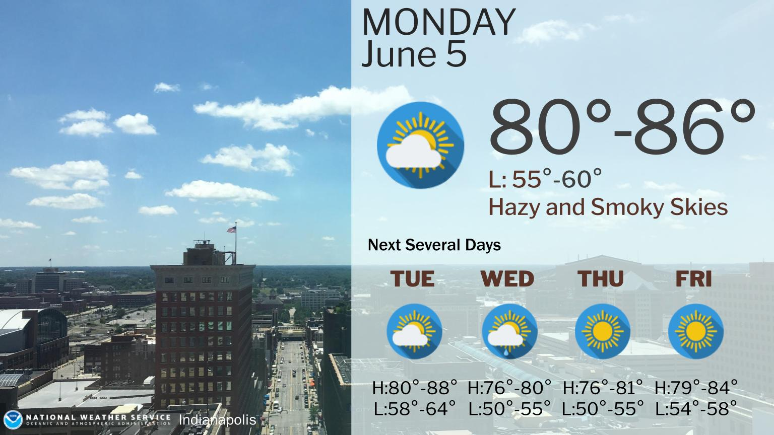
Today will be hazy from wildfires to the north.
The next week will have slightly cooler temperatures than we’ve been experiencing and there is a small chance of rain midweek.
INDIANAPOLIS 7-DAY EXTENDED FORECAST
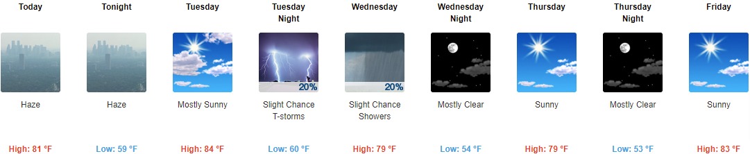
Today: Widespread haze after 8am. Mostly sunny, with a high near 81. North northeast wind 7 to 9 mph.
Tonight: Widespread haze. Partly cloudy, with a low around 59. Northeast wind 5 to 8 mph.
Tuesday: Mostly sunny, with a high near 84. Light north wind becoming north northwest 5 to 10 mph in the morning.
Tuesday Night: A 20 percent chance of showers and thunderstorms. Mostly cloudy, with a low around 60. North northeast wind around 9 mph.
Wednesday: A 20 percent chance of showers before 2pm. Partly sunny, with a high near 79. East northeast wind around 9 mph.
Wednesday Night: Mostly clear, with a low around 54.
Thursday: Sunny, with a high near 79.
Thursday Night: Mostly clear, with a low around 53.
Friday: Sunny, with a high near 83.
Friday Night: Mostly clear, with a low around 57.
Saturday: A 20 percent chance of showers. Mostly sunny, with a high near 85.
Saturday Night: A 30 percent chance of showers. Partly cloudy, with a low around 61.
Sunday: A 50 percent chance of showers and thunderstorms. Partly sunny, with a high near 80.
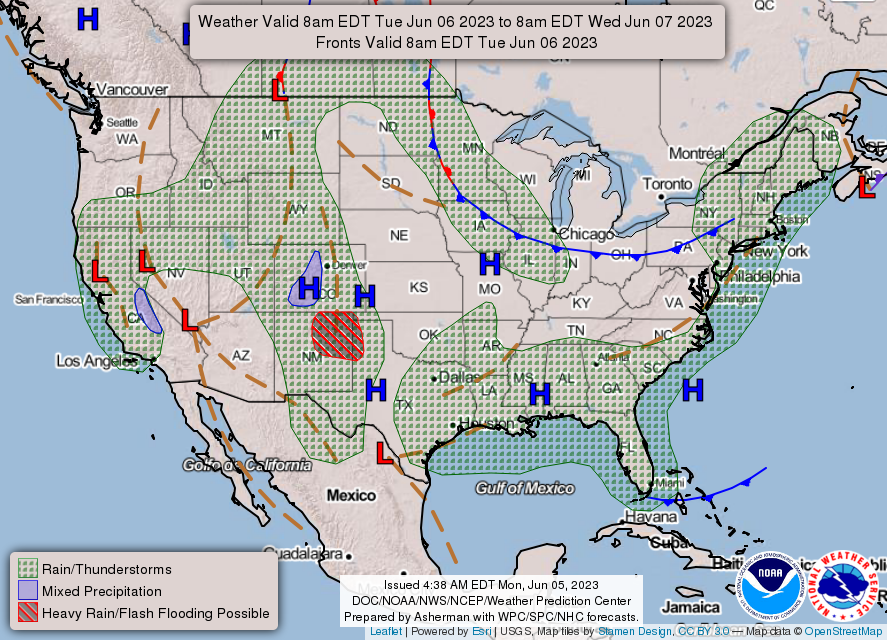
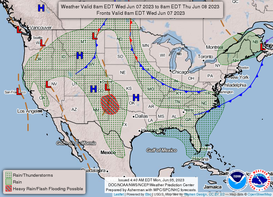
THE UNITED STATES OF AMERICA 3-DAY OUTLOOK

SOURCE: NWS Indianapolis.
Follow NWS Indianapolis on Twitter @NWSIndianapolis for the latest Indianapolis area weather news.