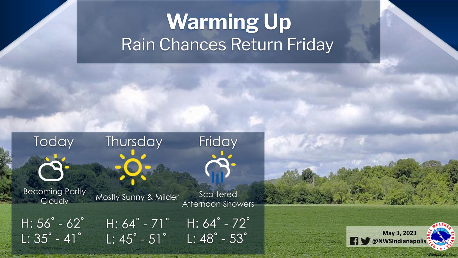
Clouds will be most numerous across the northeast half of central Indiana today, but some decrease in clouds will occur this afternoon.
Highs will be in the mid 50s to lower 60s.
Tonight will be cold, with some limited frost risk in the northeast portions of the area.
Lows will be in the mid 30s to around 40.
Temperatures will be warmer for Thursday and Friday.
INDIANAPOLIS 7-DAY EXTENDED FORECAST
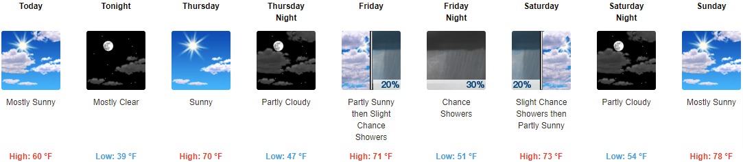
Today: Mostly sunny, with a high near 60. North northwest wind around 14 mph, with gusts as high as 21 mph.
Tonight: Mostly clear, with a low around 39. North northwest wind 5 to 10 mph becoming light northwest after midnight.
Thursday: Sunny, with a high near 70. Calm wind becoming west around 6 mph in the afternoon.
Thursday Night: Partly cloudy, with a low around 47. West southwest wind 6 to 8 mph becoming southeast after midnight.
Friday: A 20 percent chance of showers after 3pm. Partly sunny, with a high near 71. South southeast wind 9 to 11 mph, with gusts as high as 18 mph.
Friday Night: A 30 percent chance of showers, mainly between 9pm and 3am. Mostly cloudy, with a low around 51.
Saturday: A 20 percent chance of showers before 9am. Partly sunny, with a high near 73.
Saturday Night: Partly cloudy, with a low around 54.
Sunday: Mostly sunny, with a high near 78.
Sunday Night: A 30 percent chance of showers, mainly after 3am. Partly cloudy, with a low around 57.
Monday: A 40 percent chance of showers and thunderstorms. Mostly sunny, with a high near 78.
Monday Night: A 50 percent chance of showers and thunderstorms. Partly cloudy, with a low around 58.
Tuesday: A 50 percent chance of showers and thunderstorms. Partly sunny, with a high near 81.
THE UNITED STATES OF AMERICA 3-DAY OUTLOOK


SOURCE: NWS Indianapolis.
Follow NWS Indianapolis on Twitter @NWSIndianapolis for the latest Indianapolis area weather news.