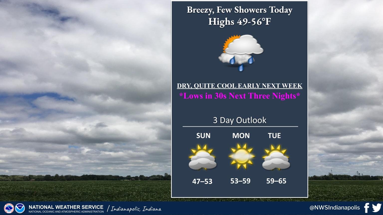
Indiana will transition to an even cooler pattern today, with clouds returning this morning, before widely scattered rain showers through the afternoon.
Patchy frost is possible tonight, with greater frost/freeze concerns Sunday and Monday nights.
LIKELY FIREBALL METEOR
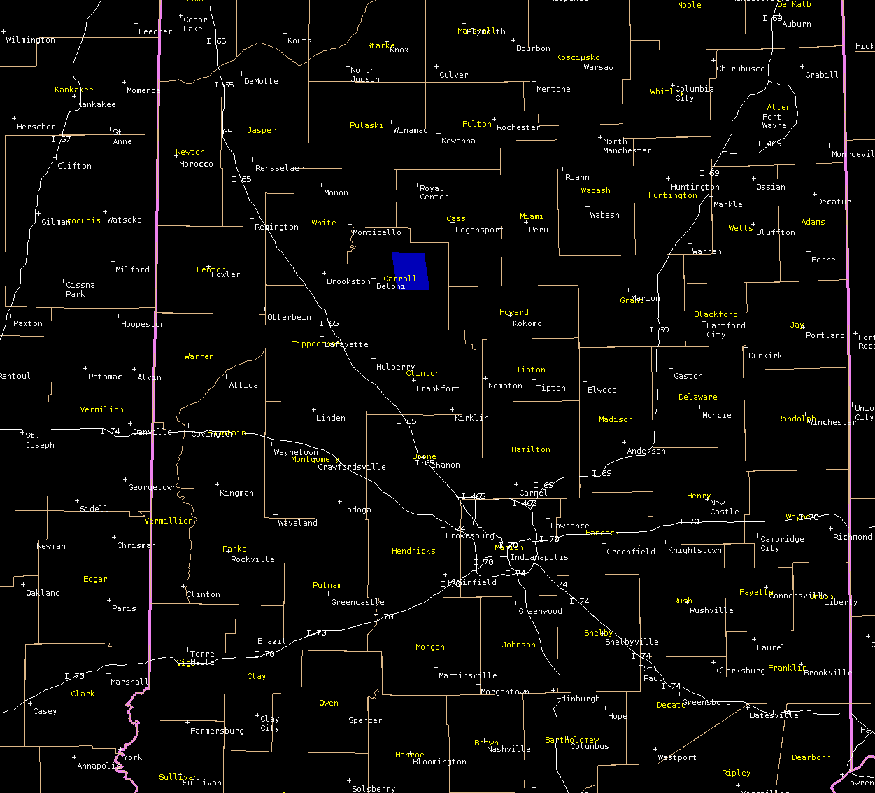
This image shows the Geostationary Lightning Mapper (GLM) detection of the likely fireball meteor from yesterday (4/21/23) evening.
Due to the satellite’s viewing angle, the actual location of the meteor was farther southeast than indicated.
SOURCE: NWS Indianapolis.
Follow NWS Indianapolis on Twitter @NWSIndianapolis for the latest Indianapolis area weather news.