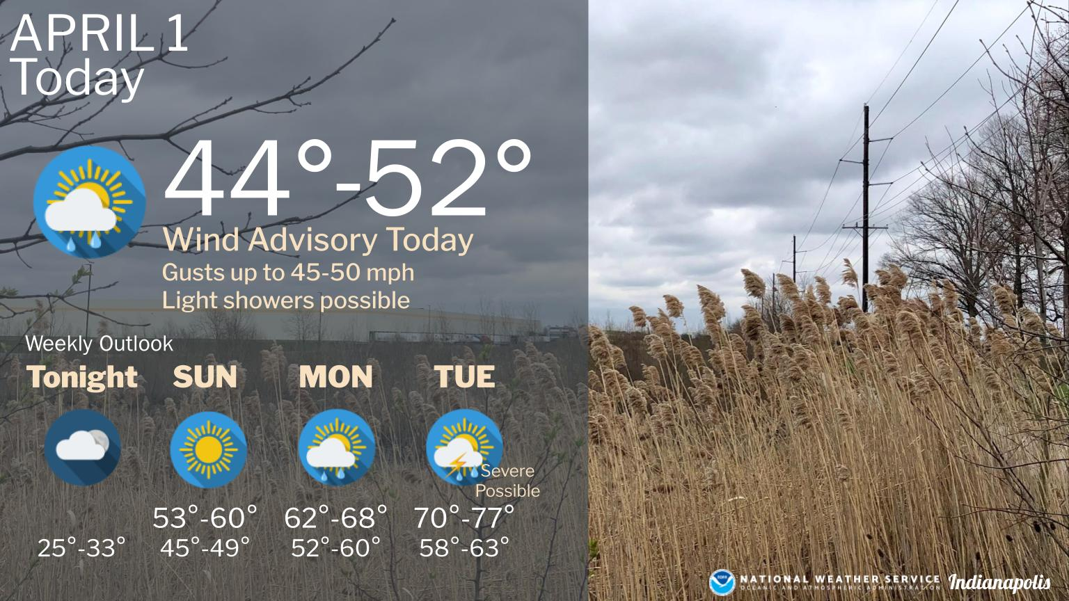
There is a wind advisory in effect today with gusts near 50 mph possible.
Showers will also be possible through the day.
Temperatures will warm up into next week with another round of severe storms possible on Tuesday.
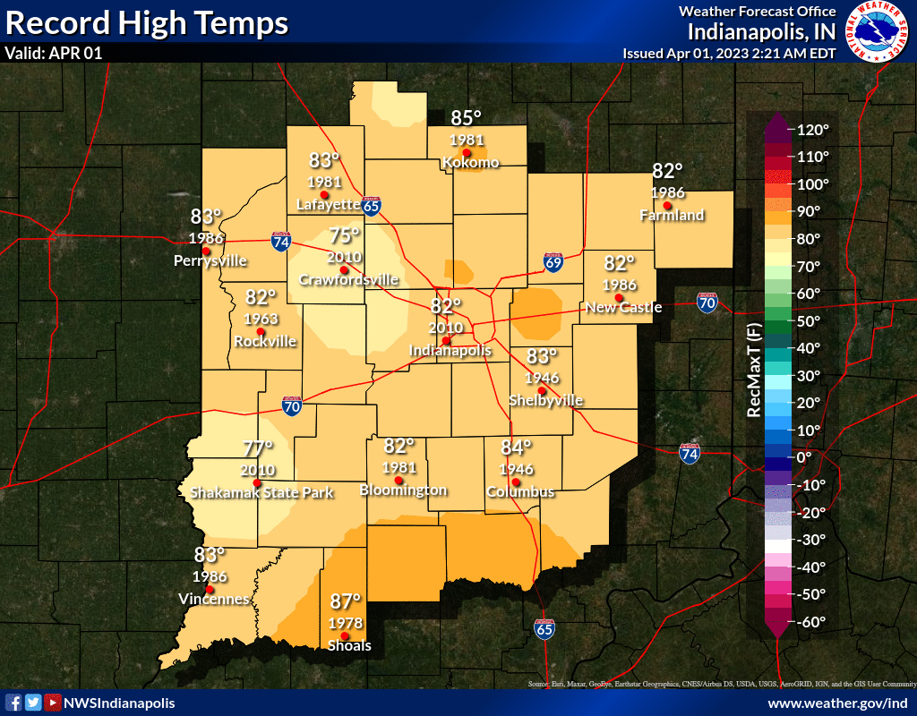
INDIANAPOLIS 7-DAY EXTENDED FORECAST
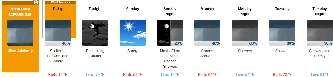
Today: Scattered showers, mainly before 5pm. Mostly cloudy, with a high near 49. Windy, with a west wind 23 to 30 mph, with gusts as high as 48 mph. Chance of precipitation is 40%.
Tonight: Mostly cloudy, then gradually becoming mostly clear, with a low around 29. Northwest wind 8 to 18 mph, with gusts as high as 26 mph.
Sunday: Sunny, with a high near 56. Light south southeast wind becoming south 5 to 10 mph in the morning.
Sunday Night: A 20 percent chance of showers after 2am. Increasing clouds, with a low around 46. South wind around 15 mph, with gusts as high as 22 mph.
Monday: A 40 percent chance of showers, mainly after 8am. Partly sunny, with a high near 67. South southwest wind around 10 mph.
Monday Night: Showers and possibly a thunderstorm. Low around 57. Chance of precipitation is 80%. New rainfall amounts between a tenth and quarter of an inch, except higher amounts possible in thunderstorms.
Tuesday: Showers and possibly a thunderstorm. High near 73. Chance of precipitation is 80%.
Tuesday Night: Showers and possibly a thunderstorm. Low around 61. Breezy. Chance of precipitation is 90%.
Wednesday: A chance of showers and thunderstorms. Partly sunny, with a high near 69. Breezy. Chance of precipitation is 50%.
Wednesday Night: A 20 percent chance of showers before 2am. Partly cloudy, with a low around 38. Breezy.
Thursday: Mostly sunny, with a high near 53.
Thursday Night: Partly cloudy, with a low around 34.
Friday: A slight chance of rain and snow showers. Partly sunny, with a high near 57. Chance of precipitation is 20%.
THE UNITED STATES OF AMERICA 3-DAY OUTLOOK


SOURCE: NWS Indianapolis.
Follow NWS Indianapolis on Twitter @NWSIndianapolis for the latest Indianapolis area weather news.