
For a limited time only, temperatures go back into the 90s this week.
However, a weekend cold front brings about thunderstorm chances and cools us right back off.
Make sure you’re staying hydrated in this heat, and enjoy the sunshine in the meantime.
KNOZONE ACTION DAY
The officials at the Office of Sustainability for the City of Indianapolis have called for a Knozone Action Day on Wednesday, June 29th for Marion County.
This Knozone Action Day will be in effect from 12:00 am to 11:59 pm.
A Knozone Action Day means that a combination of the high temperatures, light winds, and other factors, are expected to produce conditions where high levels of ozone emissions may exceed federally mandated standards.
Here are some recommended actions that the public can take to reduce ozone-forming emissions:
- Walk, bike, carpool, or use public transportation.
- Avoid using the drive-through and combine errands into one trip.
- Avoid refueling your vehicle or using gasoline-powered lawn equipment until after 7 pm.
- Turn off your engine when idling for more than 30 seconds.
- Conserve energy by turning off lights or setting the air conditioner to 75 degrees or above.
INDIANAPOLIS 7-DAY EXTENDED FORECAST

Today: Sunny, with a high near 87. West southwest wind 5 to 7 mph.
Tonight: Mostly clear, with a low around 64. West southwest wind 5 to 7 mph becoming light and variable in the evening.
Thursday: Sunny and hot, with a high near 92. Light south wind increasing to 5 to 9 mph in the morning.
Thursday Night: Mostly clear, with a low around 72. South southwest wind 6 to 9 mph.
Friday: A 30 percent chance of showers and thunderstorms after 3 pm. Mostly sunny and hot, with a high near 93. Southwest wind 6 to 10 mph, with gusts as high as 18 mph.
Friday Night: A 50 percent chance of showers and thunderstorms. Mostly cloudy, with a low around 70. New rainfall amounts of less than a tenth of an inch, except higher amounts possible in thunderstorms.
Saturday: A 50 percent chance of showers and thunderstorms. Partly sunny, with a high near 86.
Saturday Night: A chance of showers and thunderstorms. Mostly cloudy, with a low around 69. The chance of precipitation is 50%.
Sunday: A chance of showers, with thunderstorms also possible after 3pm. Mostly sunny, with a high near 89. The chance of precipitation is 40%.
Sunday Night: A chance of showers and thunderstorms. Partly cloudy, with a low around 70. The chance of precipitation is 40%.
Monday: A 40 percent chance of showers and thunderstorms. Mostly sunny, with a high near 89.
Monday Night: A 40 percent chance of showers and thunderstorms. Partly cloudy, with a low around 71.
Tuesday: A 40 percent chance of showers and thunderstorms. Partly sunny, with a high near 90.
THE UNITED STATES OF AMERICA 3-DAY OUTLOOK
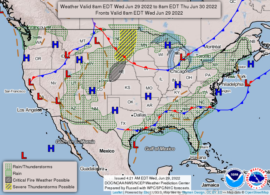


SOURCE: NWS Indianapolis.
Follow NWS Indianapolis on Twitter @NWSIndianapolis for the latest Indianapolis area weather news.