
FROST ADVISORIES and FREEZE WARNINGS remain in effect until 1000AM today.
Expect skies to become partly cloudy today with highs ranging from the middle 50s northeast to the middle 60s southwest.
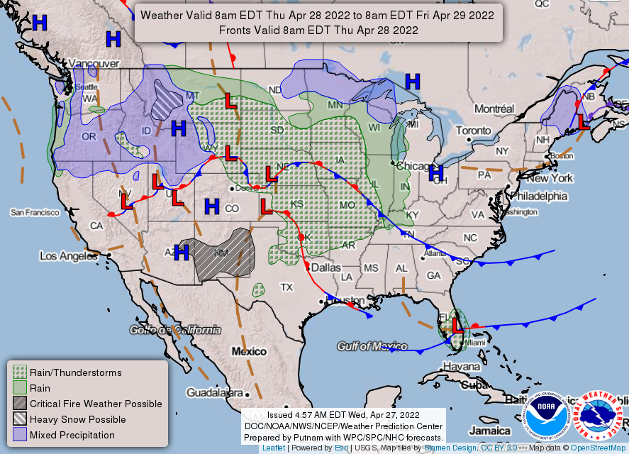
Rain chances will return on Thursday, Friday and the weekend as a warm front arrives and lingers across Central Indiana.
INDIANAPOLIS 7-DAY EXTENDED FORECAST

Today: Sunny, with a high near 60. West northwest wind 3 to 8 mph.
Tonight: Mostly cloudy, with a low around 40. North northeast wind 6 to 8 mph.
Thursday: A 20 percent chance of showers after 2pm. Partly sunny, with a high near 62. Southeast wind 7 to 9 mph.
Thursday Night: A 40 percent chance of showers, mainly after 8pm. Mostly cloudy, with a low around 47. East southeast wind around 7 mph.
Friday: A 50 percent chance of showers. Mostly cloudy, with a high near 62. Southeast wind 8 to 10 mph, with gusts as high as 21 mph. New precipitation amounts of less than a tenth of an inch are possible.
Friday Night: Showers likely and possibly a thunderstorm. Mostly cloudy, with a low around 51. The chance of precipitation is 70%. New precipitation amounts of less than a tenth of an inch, except higher amounts possible in thunderstorms.
Saturday: Showers likely and possibly a thunderstorm. Mostly cloudy, with a high near 65. The chance of precipitation is 70%.
Saturday Night: Showers and possibly a thunderstorm. Low around 57. The chance of precipitation is 90%.
Sunday: Showers likely and possibly a thunderstorm before 8am, then a chance of showers. Partly sunny, with a high near 74. The chance of precipitation is 60%.
Sunday Night: A 10 percent chance of showers before 8pm. Partly cloudy, with a low around 53.
Monday: A 30 percent chance of showers and thunderstorms. Partly sunny, with a high near 72.
Monday Night: A 50 percent chance of showers and thunderstorms. Mostly cloudy, with a low around 53.
Tuesday: A 40 percent chance of showers. Partly sunny, with a high near 69.
THE UNITED STATES OF AMERICA 3-DAY OUTLOOK


SOURCE: NWS Indianapolis.
Follow NWS Indianapolis on Twitter @NWSIndianapolis for the latest Indianapolis area weather news.