
Sunny skies are expected for today as temperatures warm back into the 60s.
Even warmer weather is expected for tomorrow before rain returns late tomorrow night.
Heavy rain will move through on Tuesday with flooding possible as over an inch of rain falls across the area.
INDIANAPOLIS 7-DAY EXTENDED FORECAST

Today: Sunny, with a high near 63. West wind 6 to 9 mph.
Tonight: Mostly clear, with a low around 42. South southwest wind around 6 mph.
Monday: Mostly sunny, with a high near 72. South southwest wind 6 to 14 mph, with gusts as high as 21 mph.
Monday Night: A 40 percent chance of showers after 2am. Increasing clouds, with a low around 49. South southeast wind around 7 mph.
Tuesday: Showers, mainly after 8am. High near 58. Southeast wind 8 to 13 mph, with gusts as high as 23 mph. The chance of precipitation is 90%. New precipitation amounts between a quarter and half of an inch possible.
Tuesday Night: Showers, with thunderstorms also possible after 2am. Low around 52. The chance of precipitation is 90%. New rainfall amounts between a half and three-quarters of an inch possible.
Wednesday: Showers and possibly a thunderstorm. High near 65. The chance of precipitation is 80%.
Wednesday Night: A 30 percent chance of showers. Mostly cloudy, with a low around 44.
Thursday: A 40 percent chance of showers. Mostly cloudy, with a high near 50.
Thursday Night: A 20 percent chance of showers before 2am. Mostly cloudy, with a low around 38.
Friday: A 20 percent chance of showers. Mostly cloudy, with a high near 50.
Friday Night: Mostly cloudy, with a low around 38.
Saturday: Mostly sunny, with a high near 56.
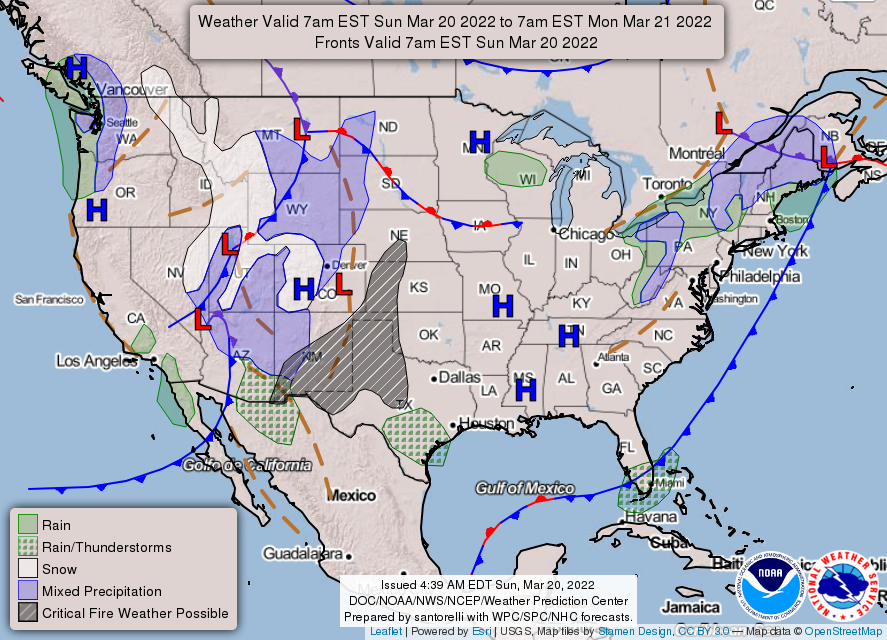
THE UNITED STATES OF AMERICA 3-DAY OUTLOOK


SOURCE: NWS Indianapolis.
Follow NWS Indianapolis on Twitter @NWSIndianapolis for the latest Indianapolis area weather news.