
Much of central Indiana will reach at least 32 degrees today with gradual increasing cloud cover this evening. A slight chance for light snow or freezing drizzle is expected for tomorrow with cold temperatures returning tomorrow night. Temperatures then trend warmer into mid-week.
INDIANAPOLIS 7-DAY EXTENDED FORECAST

Today: Increasing clouds, with a high near 33. South southwest wind 6 to 10 mph, with gusts as high as 21 mph.
Tonight: Mostly cloudy, with a low around 21. South southwest wind around 6 mph.
Monday: A slight chance of snow and freezing drizzle before 10am. Mostly cloudy, with a high near 29. West northwest wind 5 to 9 mph. The chance of precipitation is 20%.
Monday Night: Mostly cloudy, with a low around 8. West northwest wind around 6 mph becoming calm in the evening.
Tuesday: Mostly sunny, with a high near 36. Calm wind becoming south 5 to 9 mph in the morning.
Tuesday Night: Mostly cloudy, with a low around 30.
Wednesday: Mostly cloudy, with a high near 40.
Wednesday Night: Mostly cloudy, with a low around 26.
Thursday: Partly sunny, with a high near 35.
Thursday Night: Mostly cloudy, with a low around 24.
Friday: A slight chance of rain and snow. Partly sunny, with a high near 40. The chance of precipitation is 20%.
Friday Night: Mostly cloudy, with a low around 28.
Saturday: Partly sunny, with a high near 40.
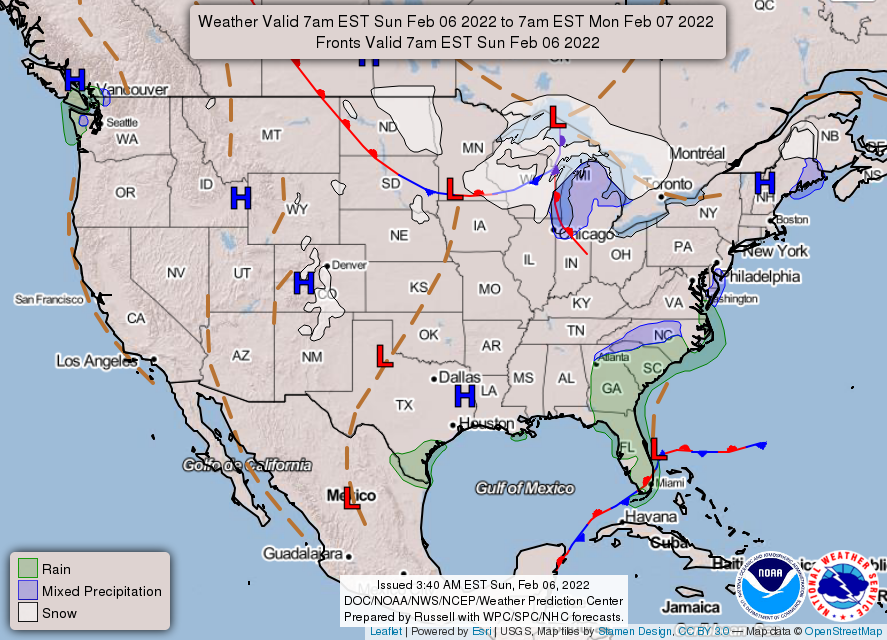
THE UNITED STATES OF AMERICA 3-DAY OUTLOOK


SOURCE: NWS Indianapolis.
Follow NWS Indianapolis on Twitter @NWSIndianapolis for the latest Indianapolis area weather news.