
This morning will start off cold with slick spots on untreated roadways and walkways.
Allow extra time to reach your destination and allow extra braking distance.
Wind chills will be in the single digits in most locales this morning, so bundle up In layers.
In addition, don’t drive through flooded roads. Turn Around Don’t Drown!
Warmer temperatures are on tap for Sunday and into the start of next week.
BEWARE OF THE BLACK ICE

Rapidly dropping temperatures could lead to black ice and slick road conditions for the morning commute.
Allow extra time and extra stopping distance!
INDIANAPOLIS 7-DAY EXTENDED FORECAST

Today: Sunny, with a high near 34. West northwest wind 6 to 11 mph becoming southwest in the afternoon. Winds could gust as high as 18 mph.
Tonight: Increasing clouds, with a low around 16. South southwest wind 11 to 16 mph becoming west after midnight. Winds could gust as high as 26 mph.
Saturday: Sunny, with a high near 26. Northwest wind 8 to 17 mph, with gusts as high as 22 mph.
Saturday Night: Mostly clear, with a low around 18. Calm wind becoming south 5 to 9 mph after midnight.
Sunday: Sunny, with a high near 50. South southwest wind 10 to 16 mph, with gusts as high as 28 mph.
Sunday Night: Mostly clear, with a low around 37.
Washington’s Birthday: Partly sunny, with a high near 58.
Monday Night: Showers, mainly after 1am. Low around 49. The chance of precipitation is 90%.
Tuesday: Showers. High near 61. The chance of precipitation is 80%.
Tuesday Night: A 40 percent chance of showers before 1am. Mostly cloudy, with a low around 29.
Wednesday: Mostly cloudy, with a high near 37.
Wednesday Night: A 30 percent chance of snow showers. Mostly cloudy, with a low around 24.
Thursday: A 30 percent chance of snow showers. Mostly cloudy, with a high near 34.
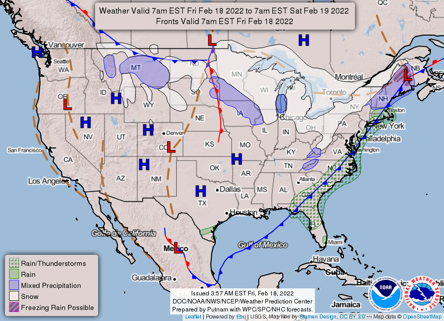
THE UNITED STATES OF AMERICA 3-DAY OUTLOOK


SOURCE: NWS Indianapolis.
Follow NWS Indianapolis on Twitter @NWSIndianapolis for the latest Indianapolis area weather news.