
Bitterly cold air will spread into central Indiana through midweek with highs in the teens and lower 20s today and Wednesday.
Lows tonight will fall into the single digits south of Interstate 70 with subzero temperatures further north.
With brisk northwest winds persisting tonight, wind chills will fall below zero across the entire area.
A Wind Chill Advisory is in effect for tonight and Wednesday morning across the northern half of central Indiana as wind chills may drop as low as -20° to -15°.
If you must be outside tonight or early Wednesday, dress in layers and cover exposed skin.
INDIANAPOLIS 7-DAY EXTENDED FORECAST

Today: Sunny, with a high near 22. Wind chill values as low as -2. Northwest wind 7 to 9 mph.
Tonight: Mostly clear, with a low around 2. Wind chill values as low as -9. Northwest wind around 8 mph.
Wednesday: Sunny, with a high near 19. Wind chill values as low as -11. Northwest wind 5 to 8 mph becoming calm in the morning.
Wednesday Night: Clear, with a low around 13. South wind 3 to 6 mph.
Thursday: A 20 percent chance of snow after 1pm. Mostly cloudy, with a high near 34. South southwest wind 7 to 10 mph, with gusts as high as 18 mph.
Thursday Night: A 20 percent chance of snow before 1am. Mostly cloudy, with a low around 22.
Friday: Mostly cloudy, with a high near 27.
Friday Night: Partly cloudy, with a low around 10.
Saturday: Sunny, with a high near 25.
Saturday Night: Partly cloudy, with a low around 17.
Sunday: Partly sunny, with a high near 35.
Sunday Night: Partly cloudy, with a low around 21.
Monday: Mostly sunny, with a high near 38.
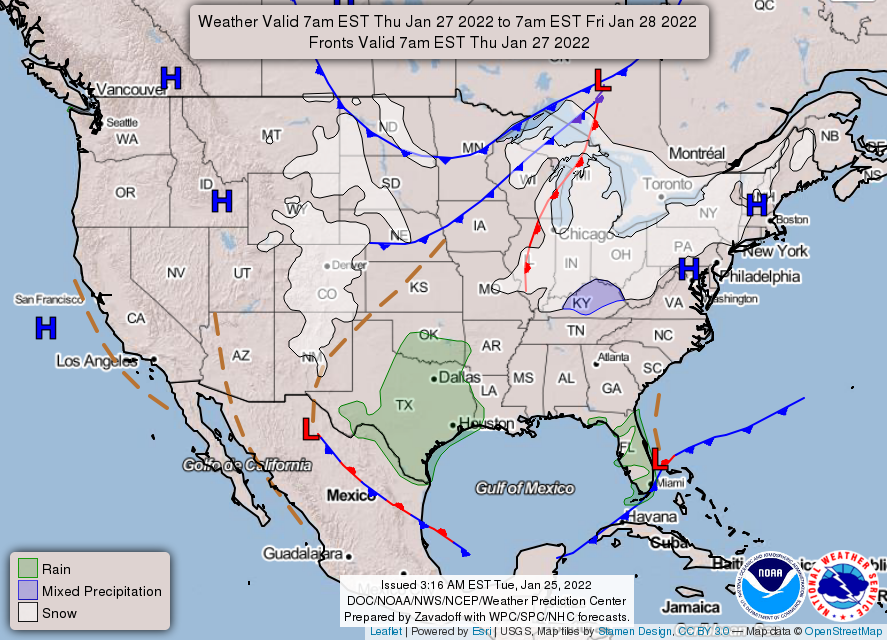
THE UNITED STATES OF AMERICA 3-DAY OUTLOOK


SOURCE: NWS Indianapolis.
Follow NWS Indianapolis on Twitter @NWSIndianapolis for the latest Indianapolis area weather news.