
Light snowfall is ongoing across most of central Indiana this morning and will continue over the next few hours.
Minor snow accumulations less than 0.5 inch are possible. Take travel slower this morning if on the roads.
INDIANAPOLIS 7-DAY EXTENDED FORECAST

Today: A slight chance of snow before 7am, then a chance of flurries with a slight chance of snow between 7am and 8am. Partly sunny, with a high near 30. Northeast wind around 11 mph, with gusts as high as 18 mph. The chance of precipitation is 20%.
Tonight: Mostly clear, with a low around 18. Northeast wind 6 to 10 mph, with gusts as high as 18 mph.
Sunday: Sunny, with a high near 36. Northeast wind around 6 mph.
Sunday Night: Increasing clouds, with a low around 23. West northwest wind 5 to 8 mph.
M.L.King Day: A 20 percent chance of snow showers before 1pm. Mostly cloudy, with a high near 33. West northwest wind 9 to 14 mph, with gusts as high as 23 mph.
Monday Night: Mostly cloudy, with a low around 23.
Tuesday: Mostly sunny, with a high near 40.
Tuesday Night: Mostly cloudy, with a low around 33.
Wednesday: Mostly cloudy, with a high near 38.
Wednesday Night: Mostly cloudy, with a low around 16.
Thursday: Mostly sunny, with a high near 26.
Thursday Night: Partly cloudy, with a low around 13.
Friday: Mostly sunny, with a high near 27.
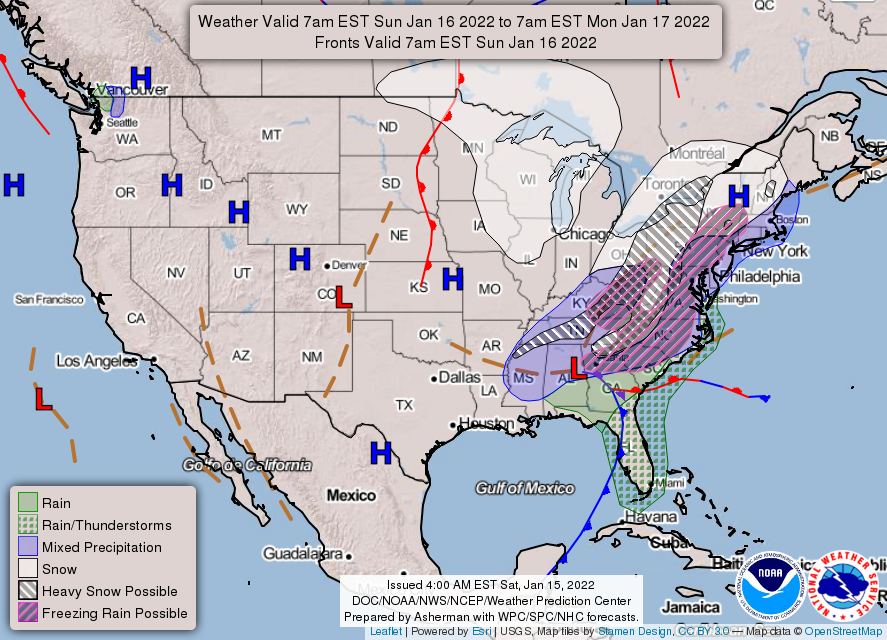
THE UNITED STATES OF AMERICA 3-DAY OUTLOOK


SOURCE: NWS Indianapolis.
Follow NWS Indianapolis on Twitter @NWSIndianapolis for the latest Indianapolis area weather news.