
Other than the chance for snow flurries this morning across the northern half of the forecast area, much of the week will be dry.
Cold temperatures continue into tomorrow – single-digit wind chills are expected this morning and again this evening into the overnight.
By midweek, temperatures will warm to slightly above normal.
INDIANAPOLIS 7-DAY EXTENDED FORECAST

Today: Scattered flurries before 10am. Mostly cloudy, then gradually becoming sunny, with a high near 27. West wind 7 to 13 mph.
Tonight: Mostly clear, with a low around 9. Northwest wind 5 to 10 mph becoming light north northwest after midnight.
Tuesday: Sunny, with a high near 31. Light and variable wind becoming south 6 to 11 mph in the morning. Winds could gust as high as 18 mph.
Tuesday Night: Mostly clear, with a low around 27. South wind 10 to 14 mph, with gusts as high as 24 mph.
Wednesday: Partly sunny, with a high near 43. West southwest wind 9 to 11 mph, with gusts as high as 20 mph.
Wednesday Night: Partly cloudy, with a low around 28.
Thursday: Partly sunny, with a high near 41.
Thursday Night: Mostly cloudy, with a low around 30.
Friday: A 20 percent chance of showers after 1pm. Mostly cloudy, with a high near 42.
Friday Night: A chance of rain showers before 8pm, then a chance of rain and snow showers between 8pm and 2am, then a chance of snow showers after 2am. Mostly cloudy, with a low around 29. The chance of precipitation is 50%.
Saturday: A 40 percent chance of snow showers. Cloudy, with a high near 35.
Saturday Night: Mostly cloudy, with a low around 19.
Sunday: Mostly sunny, with a high near 31.
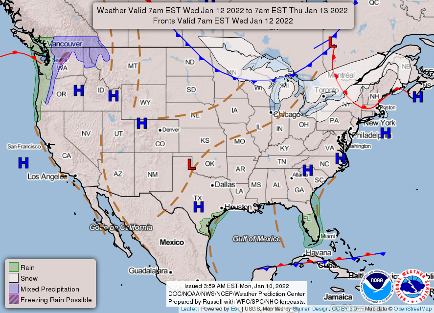
THE UNITED STATES OF AMERICA 3-DAY OUTLOOK


SOURCE: NWS Indianapolis.
Follow NWS Indianapolis on Twitter @NWSIndianapolis for the latest Indianapolis area weather news.