
Dry weather with a slow warming trend can be expected this week.
Frost can be expected in some areas tonight and Wednesday night.
The next rain chances arrive this weekend.
INDIANAPOLIS 7-DAY EXTENDED FORECAST

Today: Mostly sunny, with a high near 59. North wind 7 to 10 mph.
Tonight: Areas of frost after 5 am. Otherwise, partly cloudy, with a low around 37. North wind 5 to 9 mph.
Wednesday: Areas of frost before 7 am. Otherwise, sunny, with a high near 62. Northeast wind 6 to 9 mph.
Wednesday Night: Mostly clear, with a low around 39. North northeast wind around 6 mph becoming calm in the evening.
Thursday: Mostly sunny, with a high near 65. Calm wind becoming east northeast around 6 mph in the afternoon.
Thursday Night: Partly cloudy, with a low around 44.
Friday: Mostly sunny, with a high near 68.
Friday Night: Partly cloudy, with a low around 46.
Saturday: A 20 percent chance of showers after 2 pm. Partly sunny, with a high near 70.
Saturday Night: A 30 percent chance of showers, mainly after 2 am. Mostly cloudy, with a low around 51.
Sunday: A 30 percent chance of showers. Partly sunny, with a high near 69.
Sunday Night: A 40 percent chance of showers. Mostly cloudy, with a low around 56.
Monday: A 50 percent chance of showers and thunderstorms. Mostly cloudy, with a high near 74.
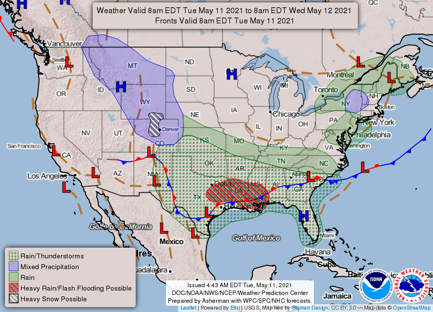
THE UNITED STATES OF AMERICA 3-DAY OUTLOOK


SOURCE: NWS Indianapolis.
Follow NWS Indianapolis on Twitter @NWSIndianapolis for the latest Indianapolis area weather news.